MAYAR SURVEYING and MAPPING SERVICES
MAYAR SURVEYING and Mapping Services
Expert Geomatics Solutions for Your Needs
Precision in Land Surveying and Mapping Services
About MAYAR SURVEYING and Mapping Services
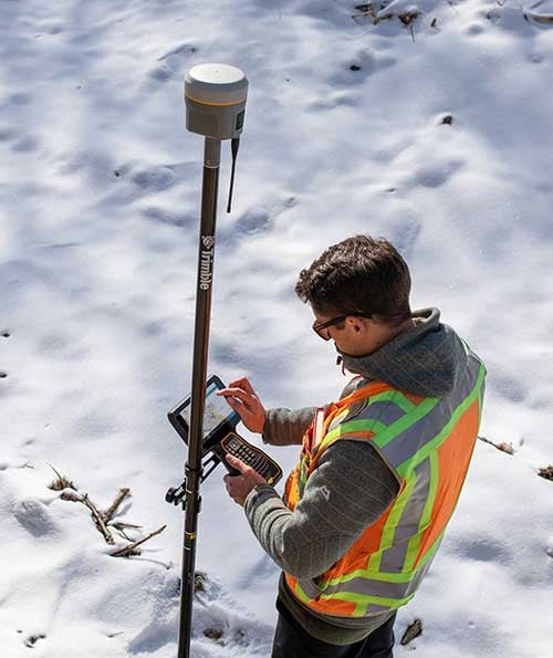
Mayar Surveying specializes in land surveying, GIS, remote sensing, and 3D laser scanning, providing innovative geomatics solutions for diverse projects across Canada.


Who We Are
Our team combines expertise in Geomatics with cutting-edge technology to deliver precise, reliable, and efficient Surveying and Mapping services tailored to client needs.
Our Geomatics Services
Explore our comprehensive geomatics services, including surveying, GIS, remote sensing, and 3D laser scanning.
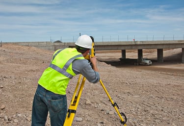
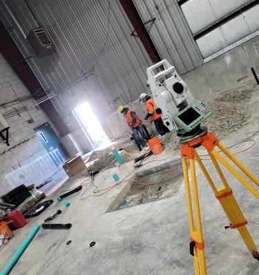
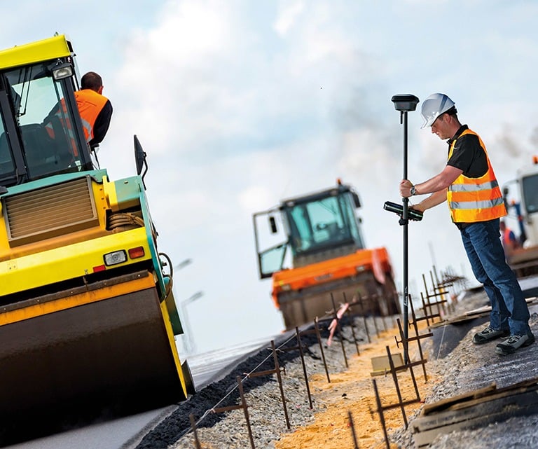
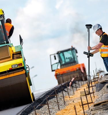
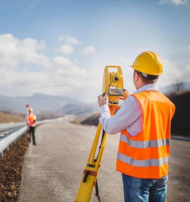
Land Surveying
Precision land surveying services for accurate property boundaries and topographic mapping tailored to your needs.

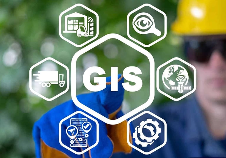
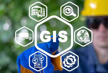
GIS Solutions
Advanced GIS solutions to analyze spatial data, enhancing decision-making and project planning for clients.
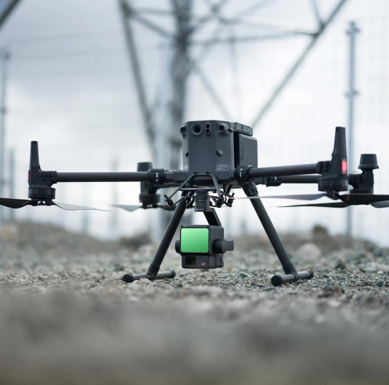
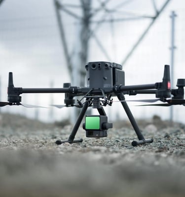
Utilizing cutting-edge technology for accurate data collection and analysis in geomatics and mapping projects.
Remote Sensing


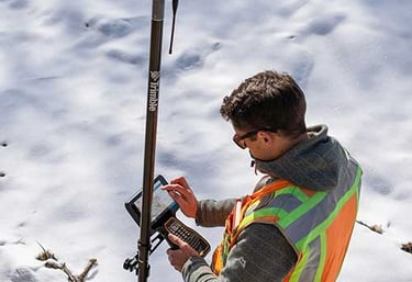
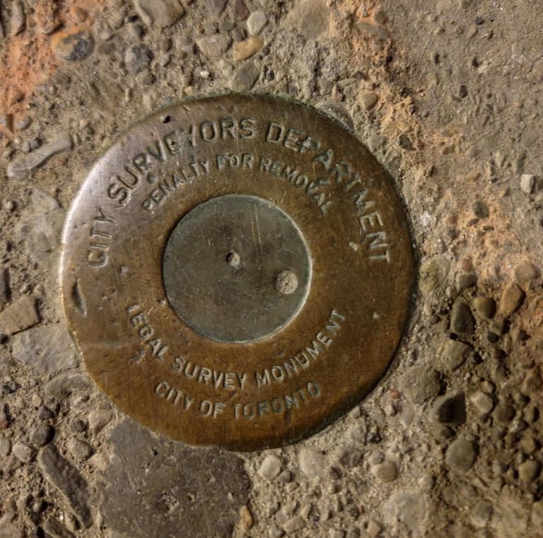
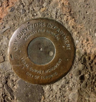
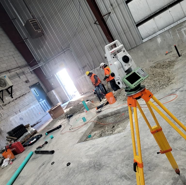
Gallery Showcase
Explore our projects in land surveying and advanced geomatics technology.


MAYAR SURVEYING provides exceptional service and expertise in Land Surveying and Geomatics services. Our professionalism and attention to details makes our projects success stories.
★★★★★