MAYAR SURVEYING and MAPPING SERVICES


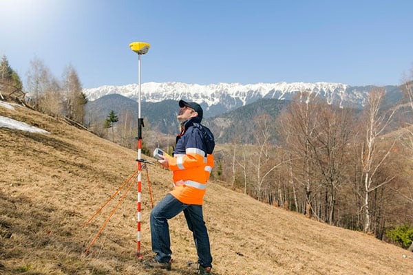
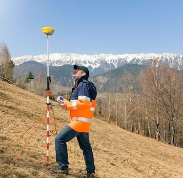
Land Surveys Services
Expert Land surveying for accurate property assessments.
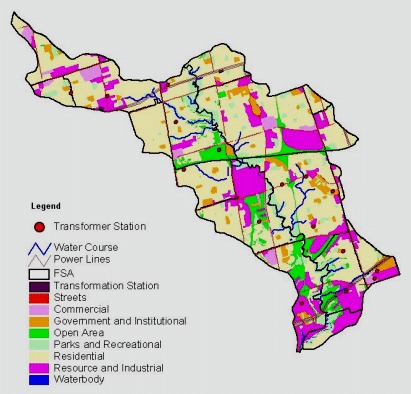
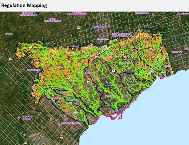
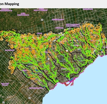
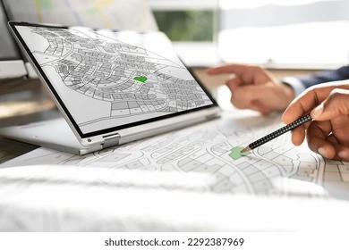
GIS Mapping Solutions
Advanced GIS mapping for informed decision making.
Services
Utilizing cutting-edge technology for precise measurements.
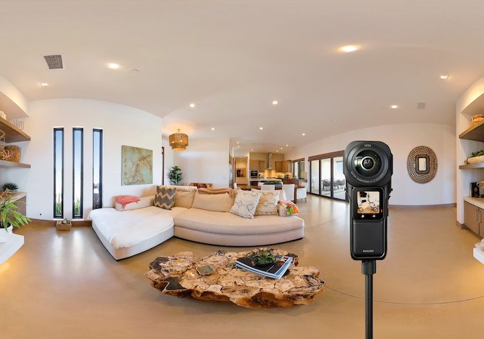
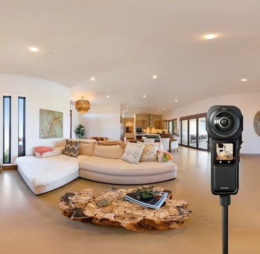
Virtual Tours
Immersive virtual tours showcasing properties effectively.
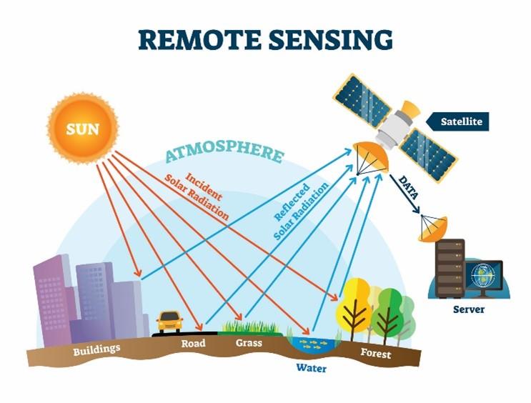
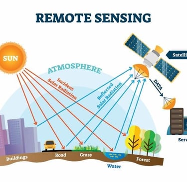


Remote Sensing
Innovative Remote sensing for detailed analysis.
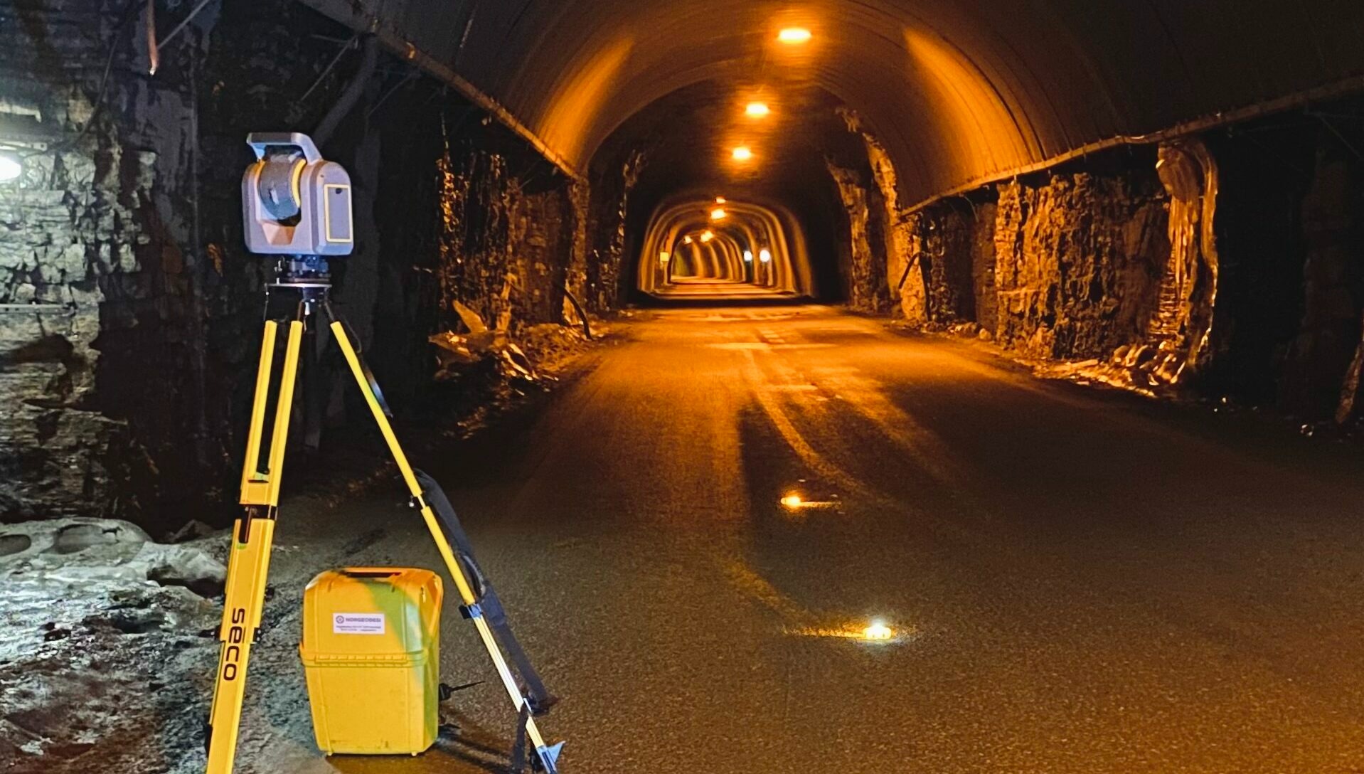
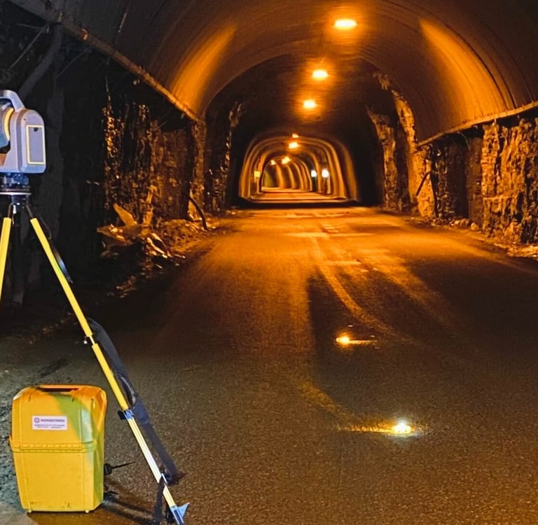
3D Scanning
Professional 3D Scanning services for all Geomatics-related services.
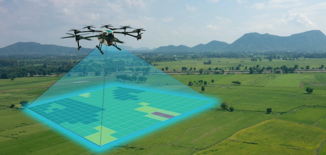
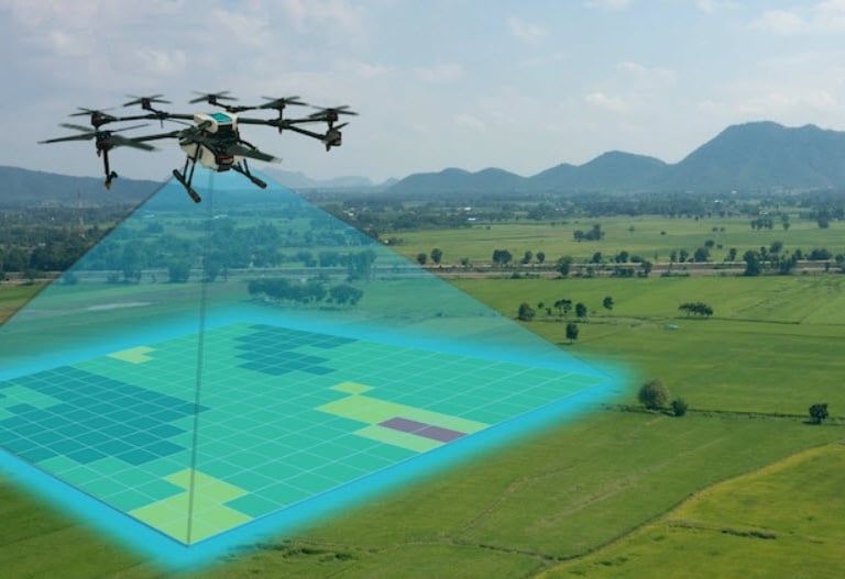
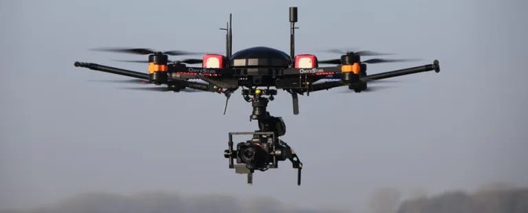
Aerial Drone Mapping
Comprehensive Drone guided mapping services for diverse applications.
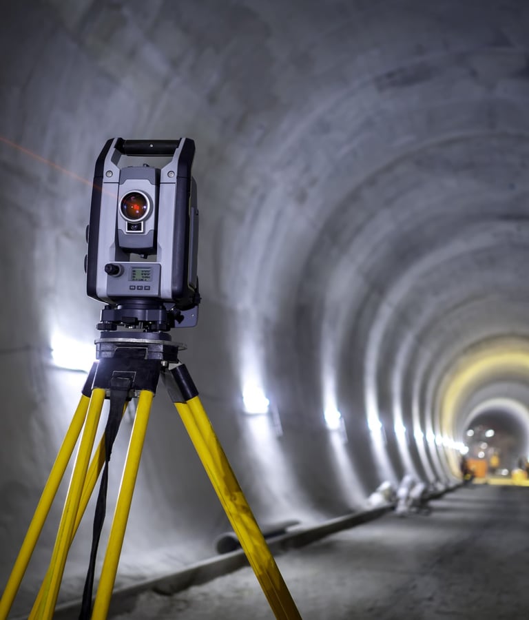
Real-time monitoring of structures to determine if anything has shifted or moved over time.
Monitoring Surveys
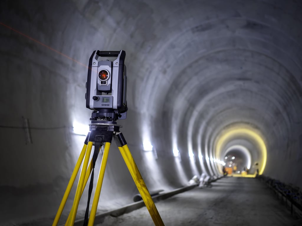
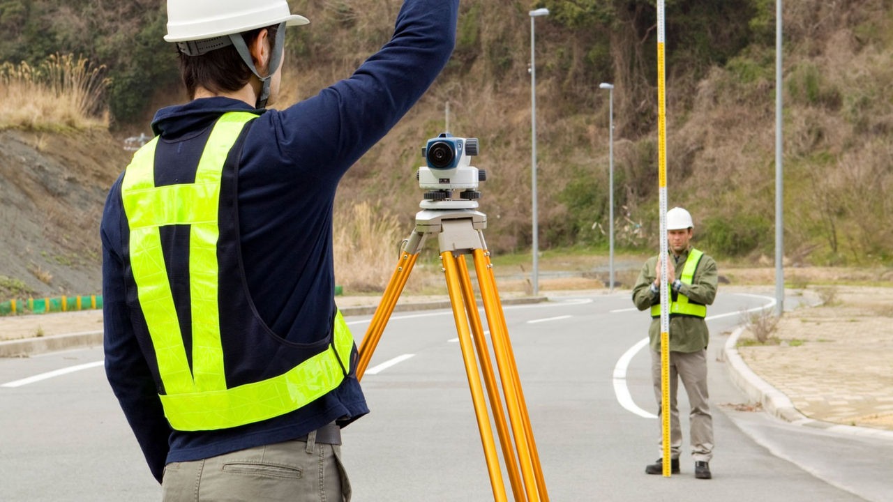
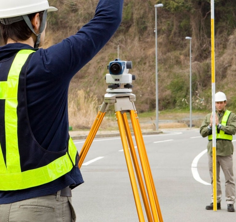
Topographic Surveys
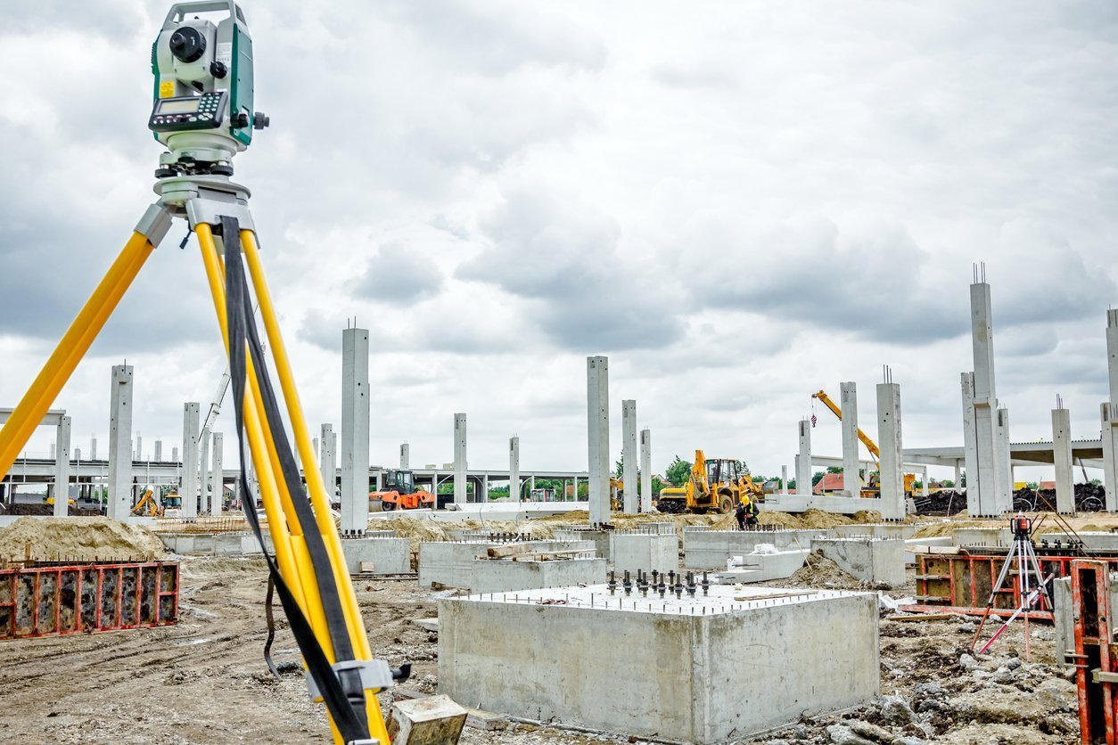
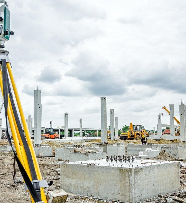
Construction Surveys
Production of contour maps showing measured elevations and contour lines.
Providing precise measurements and spatial data to guide construction projects.
MAYAR SURVEYING guarantees to provide exceptional services and expertise in GIS, Land Surveying and other engineering services.
★★★★


Mayar Surveying provided exceptional service and expertise in our land surveying project. Highly recommended for geomatics needs!
peter.k

The team at Mayar Surveying delivered outstanding results in our GIS project. Their professionalism was impressive!
jack Lee
