MAYAR SURVEYING and MAPPING SERVICES


Land Surveying Services
Expert land surveying for accurate property assessments.
500$


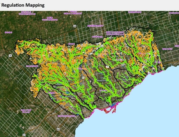
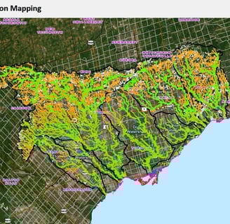
GIS Mapping Solutions
Advanced GIS mapping for informed decision making.
300$
3D Scanning
Utilizing cutting-edge technology for precise measurements.
Virtual Tours
Immersive virtual tours showcasing properties effectively.
400$


Remote Sensing
Innovative remote sensing for detailed analysis.
250$
Geomatics Consulting
Professional consulting for all geomatics-related services.
600$
Mapping Services
Comprehensive mapping services for diverse applications.
350$
Technology


Innovative tools for advanced geomatics and surveying solutions.

Mayar Surveying provided exceptional service and expertise in our land surveying project. Highly recommended for geomatics needs!
peter.k

The team at Mayar Surveying delivered outstanding results in our GIS project. Their professionalism was impressive!
jack Lee
